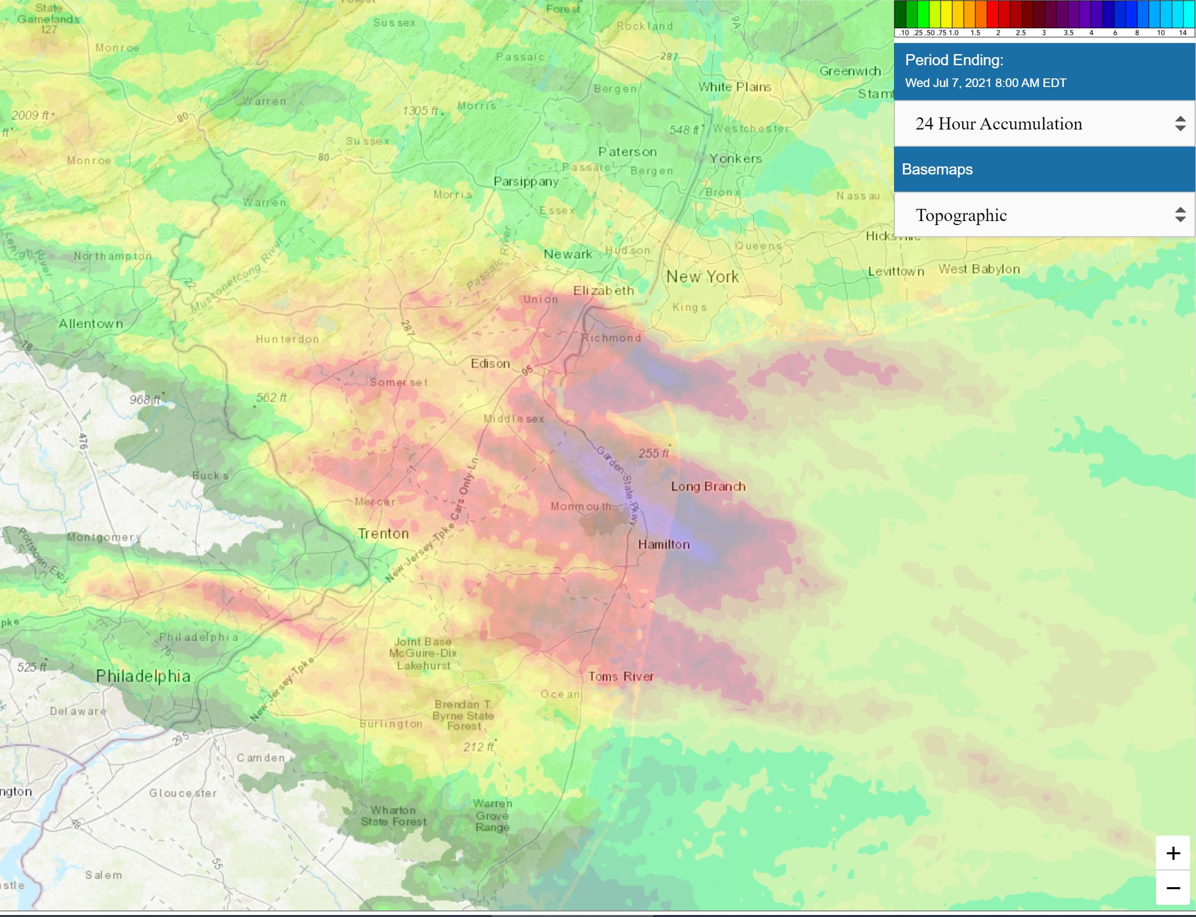
For whatever reason, people have seemed more interested in summertime t-storms this year, so figured I'd let everyone know that the NWS in Philly and NYC have issued severe t-storm watches for the entire region (DE, Eastern PA, NJ, NYC/LI/CT/SENY) for this afternoon and evening. There's certainly enough "fuel" in the atmosphere, with such a high heat content - let's see if we get the "spark" needed to set them off (instability).
https://forecast.weather.gov/produc...&format=CI&version=1&glossary=1&highlight=off
National Weather Service Mount Holly NJ
149 PM EDT Tue Jul 6 2021
NEAR TERM /THROUGH TONIGHT/...
145 PM Update: Severe Thunderstorm Watch now in effect until 10 PM covering eastern
PA through NJ south into northern Delmarva. Storms are developing at
this time over north central PA into upstate NY and should increase
in coverage and intensity while moving E/SE reaching our eastern PA
zones by the 4-5 pm time frame. The environment is favorable
for severe storms with ML CAPEs of 2000-3000 J/KG and 0-3 km
shear of 20- 25 knots. Also, DCAPEs are over 1000 j/kg.
Storms are shown to move in a more linear fashion through the
forecast area and weakening after sunset. Another line may
develop near southeast Pennsylvania and central New Jersey near
the surface/thermal trough that will be in place, before the
showers and thunderstorms shift southeast. Best timing for
convection to roll through the area is during the afternoon and
evening. SPC has much of eastern Pennsylvania and New Jersey
outlined in a slight risk for severe weather today, with a
marginal area for the remainder of our forecast area. Strong
winds, small hail, and moderate to heavy downpours will all be
possible.
Going into this evening, the storms should weaken and diminish in
coverage as they move south. With plenty of low level moisture in
the region and the flow remaining southwesterly, there will be the
potential for fog development overnight, especially in areas that
see decent amounts of rain. Overnight lows will remain warm and in
the upper 60s to lower 70s.