Remember, tornadoes are pretty rare around here, but the risk is slightly elevated in a mesoscale convective vortext event like this one. Keep an eye on the radar and the NWS site. Severe t-storms with heavy downpours, gusty winds, and lots of lightning (and hail for some) are far more likely and occurring as we speak...
https://www.weather.gov/phi/
Severe Weather Statement
National Weather Service Mount Holly NJ
444 PM EDT Fri May 20 2022
NJC005-007-029-202115-
/O.CON.KPHI.SV.W.0046.000000T0000Z-220520T2115Z/
Ocean NJ-Camden NJ-Burlington NJ-
444 PM EDT Fri May 20 2022
...A SEVERE THUNDERSTORM WARNING REMAINS IN EFFECT UNTIL 515 PM EDT
FOR NORTHWESTERN OCEAN...CENTRAL CAMDEN AND CENTRAL BURLINGTON
COUNTIES...
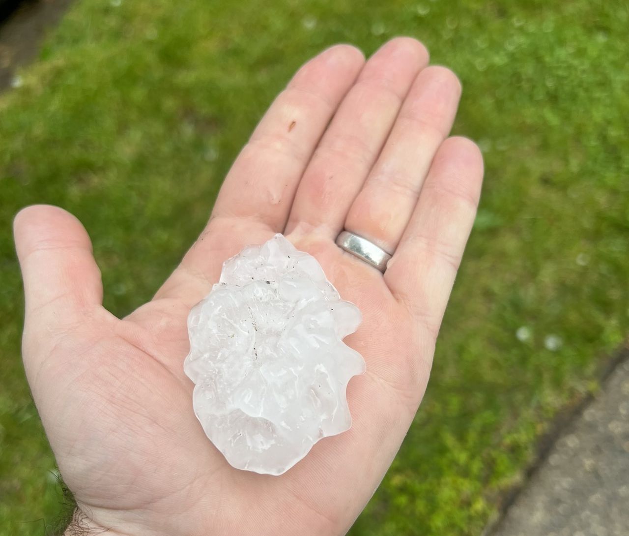
At 443 PM EDT, the public reported a severe thunderstorm producing
ping pong ball sized hail in Cherry Hill. This storm is now located
over Evesham, or 10 miles east of Gloucester City, moving east at 30
mph.
HAZARD...Golf ball size hail and 60 mph wind gusts.
SOURCE...Public.
IMPACT...People and animals outdoors will be injured. Expect hail
damage to roofs, siding, windows, and vehicles. Wind damage
to roofs, siding, trees, and power lines is possible.


 forecast.weather.gov