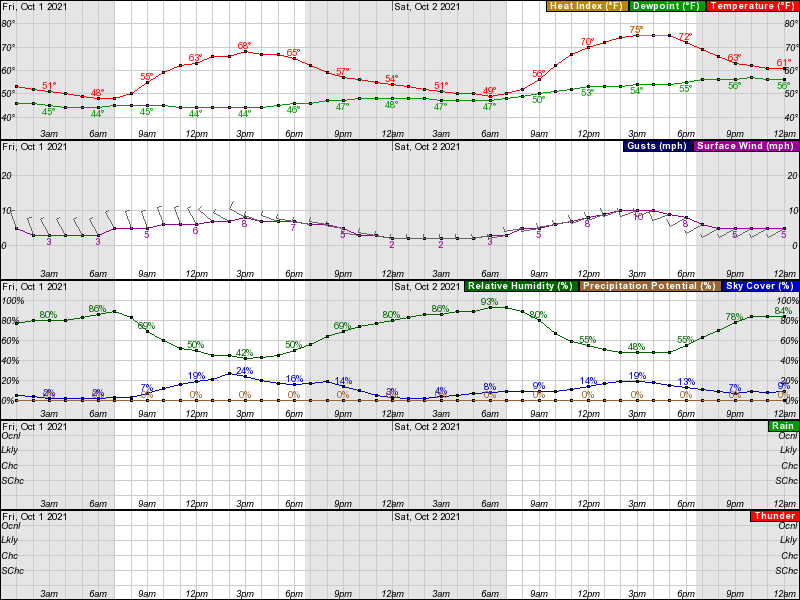
True, there's always an outside chance the models are missing something with regard to speed of the approaching weak low pressure system on Sunday, but we're now only 4 days out and all of the 12Z models still show dry conditions throught about 1-2 am Sunday with only one really showing measureable precip before about 6 am Sunday, so given the model consensus and the NWS downplaying any showers until Sunday, I'll stick with the "lock it up for seasonable (~70F high) and dry conditions" call - Saturday should simply be gorgeous all day. Here's what the NWS had to say...
https://forecast.weather.gov/produc...&format=CI&version=1&glossary=1&highlight=off
Area Forecast Discussion
National Weather Service Mount Holly NJ
327 PM EDT Tue Sep 28 2021
LONG TERM /FRIDAY THROUGH TUESDAY/...
The long term forecast begins rather benign and dry overall for
Friday through Saturday. High pressure is forecast to build
southward out of southeastern Canada Friday through Saturday,
before move out of the area Saturday night. Northwest
flow aloft
will keep temperatures seasonably cool and dry weather in place
through Saturday. Then questions develop for the remainder of
the weekend into early next week due to model differences. The
GFS breaks down the high and retreats it northward as a frontal
boundary approaches from the south and stalls near the area into
early next week. However, the
ECMWF, Canadian, and other
guidance shift the high to our south while a backdoor cold
front
moves into the area, before stalling near the area into early
next week. Due to the uncertainty in the model guidance, we have
stayed close to the National Blend of Models (NBM) forecast.
Either way, there will be a chance of showers from Sunday
through Tuesday. If the backdoor cold
front solution ends up
being the outcome, temperatures over the weekend into early next
week could be a few degrees warmer than forecast before the
front moves through.