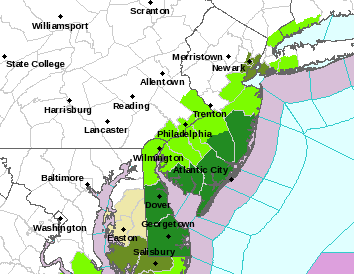
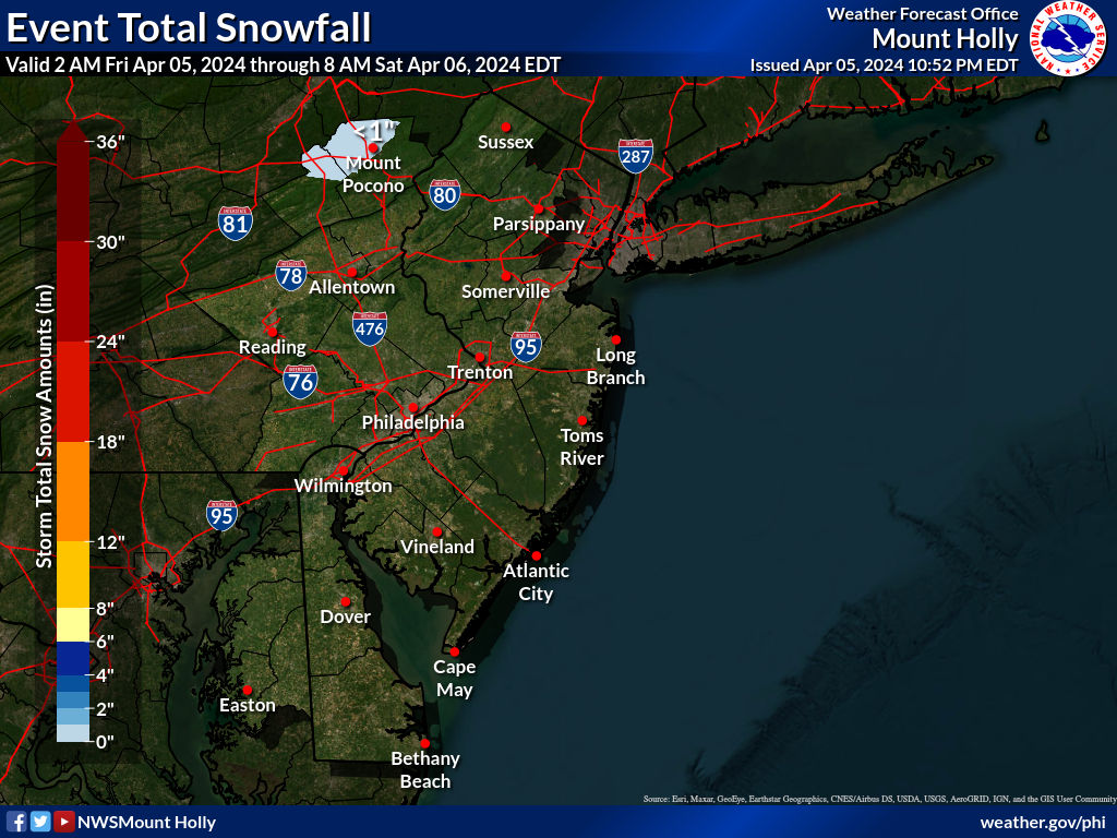
Short note, as I'm beat up from shoveling 1.5-2" worth of snow/sleet/rain paste last night that contained about 0.5-0.6" worth of precip. While this system looked like a significant snowstorm for everyone a few days ago, it had trended to a non-event north of Philly/SNJ through yesterday, but last night's and this morning's models have seen a decent shift northward with the storm, such that we're now looking at a minor (1-2") to moderate (2-4") event for the Philly-NJ-NYC region with the lowest amounts up towards 80 (1" or less) and the highest amounts for Philly/SNJ (3-5") with most of CNJ in the 1-3" range right now, as per the new NWS snowfall map below. The current 3" line runs from about Philly to Manasquan, while the 1" line is just south of 80.
It wouldn’t take much of a track adjustment to put CNJ back into a 2-4" swath, given the northward trend we've been seeing, plus several models show 2-4" for CNJ and 4-7" for Philly/SNJ (while the GFS is the major outlier showing only 1" or so for most of CNJ), but then again, a southward shift would decrease snowfall amounts. Not going to discuss much more about possibilities or models as it's time to go do some fun stuff today. Finally note that this will be an all snow event with no mixing, as temps should be below 32F everywhere - this makes the forecast much simpler. Also, note that it looks like we may have another snow to sleet to rain event Thursday and another likely mixed storm on Sat/Sun as the stormy pattern continues. Stay tuned.
https://www.weather.gov/phi
Last edited: