ADVERTISEMENT

Northwestern Game Weather Thread

bac2therac

Legend
Gold Member
Jul 30, 2001
217,230
140,421
113
54
Belle Mead NJ
A bit early to pin down details but trend is dry and pretty warm with some sun. Highs should fall somewhere in the 80s so it could get quite uncomfortable if its the upper ranges

Now last week at this time they were saying this weekend would be cool and cloudy and after any early shower passes we will have a sunny and warm weekend so long range models do get things wrong but from here the current story says we will be warm

Some models bring in heat during Labor Day week so have to watch if the that said heat comes in earlier before Labor Day
 
I'm only gonna believe what the Weather Channel tells me.
 
Not really...certain times confidence is higher due to players on the map. Higher confidence than usual on warmth and sun

I can almost guarantee the forecast will change a bunch. Sure there’s trends. Agree
 
Last edited:
Does it matter?
Yes. I've been in that stadium in over 90 degree heat and they ran out of water, while preventing you from bringing water in. That was a huge sh*tshow. Felt like a baked potato roasting on an aluminum bench marinating in my own sweat with no water. Lots of people got dehydrated and were passing out that game.
 
Last edited:
Maybe the offense will be clicking and scoring at will, taking our minds off the oppressive heat. Yeah, maybe!!!! Here’s to frying our Rocky Mountain Oysters off on those molten benches. Hey, a W against NW will still make it all worth it!,,
 
A bit early to pin down details but trend is dry and pretty warm with some sun. Highs should fall somewhere in the 80s so it could get quite uncomfortable if its the upper ranges

Now last week at this time they were saying this weekend would be cool and cloudy and after any early shower passes we will have a sunny and warm weekend so long range models do get things wrong but from here the current story says we will be warm

Some models bring in heat during Labor Day week so have to watch if the that said heat comes in earlier before Labor Day
For years you'd whine about me starting gameday weather threads 6-7 days in advance saying it was way too early to speculate on the weather, but starting last season you magically decided you disagreed with your earlier self and started gameday weather threads 8+ days out, like today's thread, just so you'd get to be the thread starter, as you know I won't start them more than 7 days out, given the inaccuracies of forecasts beyond 7 days. If I were as childish as you are, I'd start these threads 10 days in advance, but I'm not. Have at it. That's my last comment on this, although hopefully this means you won't complain when I start winter weather threat threads 5 days in advance. I won't hold my breath.

Anyway from a weather perspective, I agree with your comments above for the NW game. We have a strong trough/cold front coming through on Wednesday and that will put high pressure in control in our region through the weekend with cool/dry conditions through about Friday, but warmer and more humid (but still dry) conditions developing for Saturday and Sunday, as the high moves off into the Atlantic and we get the SW return flow.

I like dry conditions, but it could get warm to downright hot by Sunday with temps currently forecast to be in the mid-80s for gametime, but the Euro is showing highs around 90F for the game with dew points in the mid-60s (muggy, but not brutal). This is why I love evening games in early/mid September. I also agree that in this kind of pattern confidence is higher than usual, as there's no rain on any models from Weds through Sunday, at least (and this trough will kick Idalia out to sea well south of here, so impacts from that storm are vey unlikely). Having said that, though, we're still 8 days out, so it's always possible the forecast will change some.
Not a good look. I knew the first paragraph was coming when I first saw this thread. Serves no purpose making it all about you and will only derail the thread.
 
Not a good look. I knew the first paragraph was coming when I first saw this thread. Serves no purpose making it all about you and will only derail the thread.

I for one enjoy the back and forth arguing. It spices up otherwise boring threads about the weather.

Hurricane, Blizzard? Sure. Game day weather on Labor Day or another snow bust in Dec. They need the spice.
 
1Ro706.gif

tumblr_mn5rvavwOV1spa36co1_500.gif
 
A bit early to pin down details but trend is dry and pretty warm with some sun. Highs should fall somewhere in the 80s so it could get quite uncomfortable if its the upper ranges

Now last week at this time they were saying this weekend would be cool and cloudy and after any early shower passes we will have a sunny and warm weekend so long range models do get things wrong but from here the current story says we will be warm

Some models bring in heat during Labor Day week so have to watch if the that said heat comes in earlier before Labor Day
Great job by TKR's official Weather Guy! Thanks for posting well in advance. It helps us plan out next weekend and prepare!
 
Anything over 80 in daylight is broiling and uncomfortable

It's quite possible the 2nd half could be a miserable time in the stands.

And it will affect the play on the field, giving an advantage to the better conditioned team.
 
Will be sporting something like this again for the season…
images

Had a nice one from Scarlet Fever, thanks @SF88. But the brim wasn’t big enough after a few bouts with skin cancer.
 
As close to a forecast lock for warm and dry as one can get 7 days out, with high pressure in control from Wednesday through at least Sunday. Sunday is now within the 7-day NWS forecast and they're calling for a high of 85F and mostly sunny conditions; dew points will likely be in the low/mid-60s which is a bit muggy, but not steamy. The only slight fly in the ointment is a reinforcing cool front coming through on Sunday, but none of the models are showing any precip at all on Sunday in the entire Philly-NJ-NYC region.

LONG TERM /WEDNESDAY NIGHT THROUGH SUNDAY/...
An upper trough will be moving offshore at the start of the long
term (Wed night). This, along with surface high pressure building
in, will result in dry weather for Wed night and Thursday. The
surface high and favorable flow aloft will steer any tropical system
(Idalia) which will be across the Southeast states offshore and away
from our region. There may be some clouds and a small chance of
showers for Delmarva and south NJ on Thu night and Friday and the
way-outer edges of Idalia possibly approach those areas. Other than
that, the remainder of the long term looks dry.

Temperatures will be below normal for Thu/Fri with highs mostly in
the 70s and some 60s for the NW areas. Ny next weekend, a return to
more normal temperatures is expected with low/mid 80s for highs and
lows in the upper 60s/low 70s.
 
  • Like
Reactions: Knight Shift
As close to a forecast lock for warm and dry as one can get 7 days out, with high pressure in control from Wednesday through at least Sunday. Sunday is now within the 7-day NWS forecast and they're calling for a high of 85F and mostly sunny conditions; dew points will likely be in the low/mid-60s which is a bit muggy, but not steamy. The only slight fly in the ointment is a reinforcing cool front coming through on Sunday, but none of the models are showing any precip at all on Sunday in the entire Philly-NJ-NYC region.

LONG TERM /WEDNESDAY NIGHT THROUGH SUNDAY/...
An upper trough will be moving offshore at the start of the long
term (Wed night). This, along with surface high pressure building
in, will result in dry weather for Wed night and Thursday.

the only good part of this forecast is dry weather for Springsteen on Wed
 
For years you'd whine about me starting gameday weather threads 6-7 days in advance saying it was way too early to speculate on the weather...
And you used to do the same damn thing to someone else.. forget teh guys handle but there were 3 of you and you'd all try to claim the mantle of being the guy who posted the game weather threads.

You would also scold anyone who just dropped in links to weather.com or some local TV broadcaster's predictions.

Really, it is pathetic of you all.. want to be THE weather guy. To be FIRST to post a weather thread. So don't pretend that the other guy is the hypocrite. You are both just too thirsty for weather guy "fame".

No matter who starts the tread you can all add what you want to add... right?
 
As close to a forecast lock for warm and dry as one can get 7 days out, with high pressure in control from Wednesday through at least Sunday. Sunday is now within the 7-day NWS forecast and they're calling for a high of 85F and mostly sunny conditions; dew points will likely be in the low/mid-60s which is a bit muggy, but not steamy. The only slight fly in the ointment is a reinforcing cool front coming through on Sunday, but none of the models are showing any precip at all on Sunday in the entire Philly-NJ-NYC region.

LONG TERM /WEDNESDAY NIGHT THROUGH SUNDAY/...
An upper trough will be moving offshore at the start of the long
term (Wed night). This, along with surface high pressure building
in, will result in dry weather for Wed night and Thursday. The
surface high and favorable flow aloft will steer any tropical system
(Idalia) which will be across the Southeast states offshore and away
from our region. There may be some clouds and a small chance of
showers for Delmarva and south NJ on Thu night and Friday and the
way-outer edges of Idalia possibly approach those areas. Other than
that, the remainder of the long term looks dry.

Temperatures will be below normal for Thu/Fri with highs mostly in
the 70s and some 60s for the NW areas. Ny next weekend, a return to
more normal temperatures is expected with low/mid 80s for highs and
lows in the upper 60s/low 70s.
see? You could have just started with that and end this whole battle to be first.

There seems to be a lot of tropical Atlantic activity right now.. maybe a thread about that and when it/.if any of it might come Jersey's way. Florida gulf coast might get hit hard.
 
Nice, may have to get one of those...
I thought you already did?

Only saw you from the back at a distance last year so not sure if you were sporting the R.

I made my own with a an O’Neil hat and a Block R decal. It always seems the one we want is out of stock.🤷‍♂️
 
so glad I never ever have to listen to those weather queens….the worst of weather.gov >>>>> wc
You're just wrong on TWC. They've hugely upped their game with various weather experts including Dr. Knabb former NHC Director, who's great. Not everyone is great and some of the fluff is annoying, but when there's serious weather, they're much better than they used to be.
 
I thought you already did?

Only saw you from the back at a distance last year so not sure if you were sporting the R.

I made my own with a an O’Neil hat and a Block R decal. It always seems the one we want is out of stock.🤷‍♂️
Not with an R on it...next time stop by and say hi...
 
see? You could have just started with that and end this whole battle to be first.

There seems to be a lot of tropical Atlantic activity right now.. maybe a thread about that and when it/.if any of it might come Jersey's way. Florida gulf coast might get hit hard.
There's no "battle" - I've been starting gameday weather threads for 20+ years now and have always started them 6-7 days out. For some reason, bac, despite excoriating me for starting those threads too soon, changed his mind and decided to start the gameday threads 8+ days out last year. Pretty sure it's because he's like an 8-year old, since it's clearly not priniciple or science-based. Whatever.

There's been a thread on Idalia for 3 days and a general tropical season thread all season. Impact to the FL Gulf Coast is approaching catastrophic with each model suite showing a stronger and stronger storm. Cat 4 is now on the table. Zero impacts on us, though.
 
No AI predictive magic of course.
Its just faster at being hit or miss


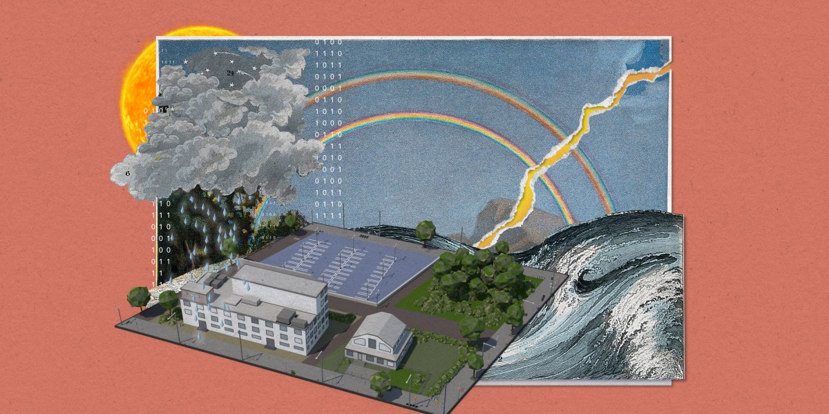
Using AI to predict weather has a big advantage: it’s fast.

Traditional forecasting models are big, complex computer algorithms based on atmospheric physics and take hours to run. AI models can create forecasts in just seconds.

But they are unlikely to replace conventional weather prediction models anytime soon.

 
ADVERTISEMENT
ADVERTISEMENT