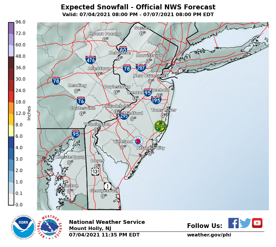
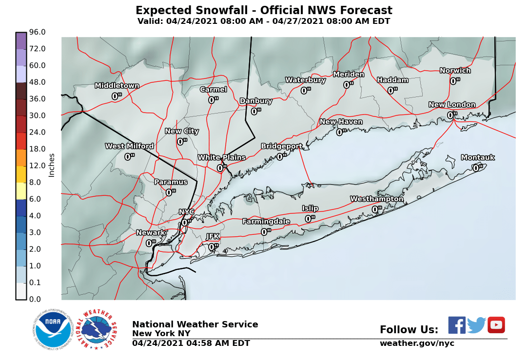
Don't look now Mama but Lee Goldberg said he would not be surprised to see a plowable snow on Tuesday. BTW GFS spits out 12-18 inches. Hold on. We have a long way before winter ends.
ADVERTISEMENT
You are using an out of date browser. It may not display this or other websites correctly.
You should upgrade or use an alternative browser.
You should upgrade or use an alternative browser.
OT: Wintry Pattern for 3/10 - 3/17 or so
- Thread starter RU848789
- Start date
Don't look now Mama but Lee Goldberg said he would not be surprised to see a plowable snow on Tuesday. BTW GFS spits out 12-18 inches. Hold on. We have a long way before winter ends.
18Z GFS spits out 18-24" area wide (a bit less at the coast, due to mixing). If it verified, which is unlikely, it would be an historic storm (most snowfall in March since the Blizzard of 1888). Still a long ways to go, but as I've been saying (and actually downplaying vs. what I'm seeing in the models and reading on the boards from actual conservative meteorologists getting giddy), this pattern is ripe, seriously ripe for wintry weather. See the thread...
https://www.americanwx.com/bb/topic/49755-march-model-discussion/?page=31
Honestly, the biggest threat to a major snowstorm right now is that it has trended west, bringing rain/sleet into the picture for the coast and eventually maybe for inland areas. But I think we're close to being sure a major storm is going to hit us.
I don't want to hear about snow.I was ready to put the snow blower away and get the lawn mower ready.Don't look now Mama but Lee Goldberg said he would not be surprised to see a plowable snow on Tuesday. BTW GFS spits out 12-18 inches. Hold on. We have a long way before winter ends.
I don't want to hear about snow.I was ready to put the snow blower away and get the lawn mower ready.
Just mowed for the first time today in Cincinnati.
I don't want to hear about snow.I was ready to put the snow blower away and get the lawn mower ready.
agreed... really getting annoyed with shorts one day.. parka the next!!
Crap. Driving to from NJ to Canton Ohio. Was supposed to leave Tuesday morning. I may have to get a head start and leave Monday night. F winter. And F any snow weenie who wants the big one.
Oh boy here we go .Well, this could be our last shot at some winter before spring takes hold. The hemispheric pattern is expected to develop high latitude ridging over Greenland (i.e., a "polar block" and a negative North Atlantic Oscillation index), which is highly conducive to cold and possible snow starting early Friday through about the end of next week, at least (beyond that is very far out and hard to predict, although climatology does not favor snow potential past about mid-March, although it's still possible). We're pretty much guaranteed to be mostly below normal in temperatures during this period and we're going to have multiple chances of winter storms, but there's no guarantee of any significant snow. Yet.
The first chance of some wintry precip is very early Friday morning, when it's possible we could get a bit of snow (or rain to snow) - at this point this is looking like a minor event with maybe 1-2" of snow being possible (and little to no snow is also possible). If the snow mostly falls before about 8 am, we could see some accumulations before the sun starts warming things above 32F - precip after that point could be snow or a mix to rain as temps warm above freezing.
A much bigger potential winter storm could hit on Sunday. This is still 5+ days out, so uncertainty is still quite high. There's almost certainly going to be a significant storm - the question, at this point, is whether the storm track brings it close enough to our area for a major snowfall or if it's suppressed far enough off the coast by the polar vortex for a minor snowfall near the coast (it should be cold enough for snow either way). Given that track errors this far out are over 150 miles and a track shift of <100 miles would likely make difference between little to no snow" and 6-10", for example, along the I-95 corridor in central/north Jersey, this storm bears watching.
Right now, the near miss is looking more likely, but the snowier solution cannot be ruled out as the "players" (the systems that will eventually form the storm) are still over the data sparse Pacific Ocean, meaning the model accuracy 5+ days out is low. In addition, the long range models show the cold/wintry pattern continuing through most of next week with 1 or 2 more chances for wintry precip - way too far out to speculate on them, but the key is the pattern here is full of potential, as many top pros have noted. Specifically, here's what Earthlight, one of the best out there, had to say about the pattern:
"We are bordering on KU-level (KU is a Kocin-Uccinelli storm indicative of major to historic snowstorms in the past) hemispheric evolution now on much of the medium range ensemble guidance as we move into the Day 5-10 period. Westward movement of vorticity from Greenland into the Davis Straight and Central Canada with a closed and/or notable polar block circulation have been known to preclude some of the more prolific Northeast US snowstorms on record. In addition, the elongation of the tropospheric polar vortex over Southeast Canada suggests that cold, well sourced high pressure systems will be meandering to our north over Northern New England and Southeastern Canada. An active Pacific pattern ensures multiple disturbances ejecting eastwards into this airmass."
Been talking about this for the last day or so in another thread and was urged to start a new thread, so if this doesn't pan out and produce any snow, y'all know who to blame, lol. And below is this morning's NWS Mt. Holly discussion on both the Friday morning and Sunday systems. It's really well done, highlighting the potential, but high uncertainty. Also included a link to the model discussion thread on AmericanWx.
https://rutgers.forums.rivals.com/t...y-rain-s-of-78-some-mix-n-of-78.119226/page-2
A surge of colder air will likely occur late Thursday night into
Friday when winds turn northerly as Arctic high pressure starts
to build in from central Canada. An overrunning setup that
follows could potentially bring wintry precipitation to at least
a portion of the forecast area Thursday night into Friday as a
Pac NW disturbance is steered around the base of the broad
northern-stream trough, eventually making its way into the Mid-
Atlantic region. Forecast thermal profiles support a transition
from rain to snow from north to south with this event but the
devil is in the (timing) details. Forecast confidence for
snowfall accumulations and for pinpointing where a band of
potentially locally higher amounts could set up is limited due
to the complexity of this pattern that requires many ingredients
to come together at the right time to produce snowfall
accumulations. While there are a few outlier models that are indicating 3+
inches of snow, there is much more support for lesser
accumulations. Nonetheless, some impacts to the Friday morning
commute are possible, especially in eastern PA and NJ where an
earlier arrival of the cold air favors snow for the rush.
Arctic high pressure will continue to build southeastward into the
Great Lakes and Northeast region this weekend. Meanwhile, a more
potent Pac NW shortwave trough (relate to the Friday system) is
forecast to track east-southeastward across the Central/Northern
Plains and Midwest on Saturday. Models then continue to hint at some
degree of phasing between this Pac NW system and southern-stream
energy moving into the Southern Plains and northern Gulf Coast
states later in the weekend. The surface low is then forecast to
rapidly deepen as it progresses eastward across the Southeast states
Sunday. There is still a high degree of uncertainty regarding the
track of the low once it reaches the coast. The are two general
track scenarios: 1) the low takes a turn more northward and closer
to the Mid-Atlantic coast or 2) the low doesn`t make the turn
northward and instead moves quickly out to sea. The former would
require stronger phasing to occur farther upstream and increase our
threat at a significant late-season snow storm. Over the past few
runs, model support for the latter (i.e., a more surpressed storm
track) has increased. However, there continues to be a large spread
in guidance and with this event still 5-6 days out, there is still
plenty of opportunity for models to trend back northward over
the next few days. Therefore, only slight adjustments downward
to the PoPs were made for Sunday. It`s still worthy of
highlighting in the HWO with stress about high forecast
uncertainty. At this juncture, it`s best to continue monitoring
the forecast throughout the week. Regardless of the outcome, the
likelihood of well-below normal temperatures for this weekend
is high.
http://forecast.weather.gov/product...&format=CI&version=1&glossary=1&highlight=off
https://www.americanwx.com/bb/topic/49755-march-model-discussion/?page=14
Snowbomb for Tuesday. Wait till Lonnie Quinn rolls up his sleeves.
Is the snow coming from the west? If so, then you may have to leave a whole lot earlierCrap. Driving to from NJ to Canton Ohio. Was supposed to leave Tuesday morning. I may have to get a head start and leave Monday night. F winter. And F any snow weenie who wants the big one.
This is long - please ignore if you hate long posts. Figured I'd post my latest email update for those interested...
Let’s try a bulleted summary, as I don’t have a lot of time and want to get the key points across. And one or two people have said I’m too verbose. The nerve, lol.
Friday’s Event (NWS snowfall maps below)
· For Friday’s event, advisories up for PA/NJ/NY counties north of 276/195 for 2-4” from there up to about I-78. Could be up to 6” especially towards/north of I-80, but even areas in Central Jersey could get 4-5” where the best bands set up.
· Likely only 1-2” towards Philly/South Jersey, as more rain and less precip will fall there.
· Heaviest precip likely between 2 am and 10 am, which means that, despite above freezing temps, accumulation will likely occur, even on untreated paved surfaces (and especially as temps drop to near 32F by sunrise); I’d expect major, treated roads to be mostly wet, although visibility will be limited in moderate/heavy snow at times.
· With temps warming into the mid-30s by late morning and with the higher sun angle, snow will have a harder time accumulating, especially on paved surfaces, so visibility will likely be the main issue then. Whatever isn’t shoveled by nightfall will freeze solid, however.
http://www.weather.gov/phi/
Tuesday’s Event
· Been talking about this event for a few days now, about how ripe the pattern is for a major winter storm. Well, we’re now only 4 days out and the model consensus is unusually high on a major winter storm impacting the area Monday night through Tuesday. The potential is there for an historic storm of 12-18” of snow, which would be the biggest March snowstorm for most since the Blizzard of 1888 – that’s not a forecast, just the potential. We’re close enough now that we’re almost certainly going to be impacted by a storm, but the outcome is still unclear. The possibilities still include:
o Tthe storm cutting inland some, bringing heavy snow to sleet to rain and back to snow for most of us (and maybe all snow well inland) – this was the March ’93 Superstorm scenario.
o The “perfect storm” where this “Miller B” system, approaching from our west “transfers” its energy to the coast, where cyclogenesis occurs along a baroclinic zone fueled by great temperature contrasts, as we have the polar vortex in place and the warm (relatively) Atlantic close by, results in a nor’easter that rides up the coast crushing us with feet of snow.
o The storm being suppressed to our south some, leading to a moderate snowfall (more at the coast/less inland).
o Also, the three options above could have variations in which the tracks I mentioned pan out, but the intensity is not what it looks to be now, i.e., instead of 12-18” of snow, maybe 6-10” of snow falls for the perfect track scenario.
o I guess a complete miss can’t be dismissed at least for some areas (like March 2001/Jan-15, although these only “missed” small areas and still crushed others, i.e., there was a monster storm, it just shifted 50-75 miles), but it’s looking fairly unlikely at this point.
o I think you all know which outcome I want, lol.
o I’m not going to include model maps, as I don’t like overhyping events, but if you want to look, try this thread on Americanwx – the winter weather weenies are going wild.
o https://www.americanwx.com/bb/topic/49755-march-model-discussion/?page=32
o Note that one of the strongest supporting pieces of info about the high confidence in this being a major winter storm is that the Euro and GFS (2 of the main/best models) are both showing the storm (as are other models) hitting us, but, in addition, the “ensemble” forecasts for each model, in which the model is run 20-50 times with small variations in initial and boundary conditions, are clustered tightly around the main operational model output, which is a very strong sign that model output has greater confidence than normal.


Crap. Driving to from NJ to Canton Ohio. Was supposed to leave Tuesday morning. I may have to get a head start and leave Monday night. F winter. And F any snow weenie who wants the big one.

Lonnie just called tomorrow a slushy event for tomorrow. 2-4 inches.
Called Tuesday possibly a BRUISER of a storm
Jacket stayed on.
Called Tuesday possibly a BRUISER of a storm
Jacket stayed on.
Lee Goldberg has precip not changing to snow until about 7 AM in the city...and that with the temp at 37 and temps in the mid 30s throughout central jersey..we may never actually go below freezing...going to be a lot of slop and lost snow due to melting on contact and compaction. For some it could be a plowable event but for alot we may be looking at wet pavement with light accumulations during the heavier part.
oh and watch for the streamers in the afternoon to coat the ground
and you will want to remove all slush as there will be a hard freeze overnight and its going to be pretty cold Saturday
my thoughts about Tuesday is that it is still too far away and way too much concern over track and precip issues to be going nuts like some here are.
no precip here in Monmouth.Lee Goldberg has precip not changing to snow until about 7 AM in the city...

I heard the MILFS love those super wet outcomesThe MILF's are gonna be ecstatic!
The late change last night was the models showed a delay to the start and end of the snow by 2-3 hours, but the NWS actually increased snowfall amounts a little. Snow is coming down in North Jersey and most of Central and should be here very soon in Middlesex County and will come down at a decent rate.
The late start is good news for the roads, though as temps are still well above freezing, but intensity might still overcome that and lead to some accumulation on paved surfaces. Tricky forecast for roads - could end up being mostly or only snow on grassy/colder surfaces and little to none on paved surfaces. Still on track for a general 2-5" of snow in the general region north of 276/195 with lower amounts south and greater amounts to the north. Maps were updated - see my post above.
The late start is good news for the roads, though as temps are still well above freezing, but intensity might still overcome that and lead to some accumulation on paved surfaces. Tricky forecast for roads - could end up being mostly or only snow on grassy/colder surfaces and little to none on paved surfaces. Still on track for a general 2-5" of snow in the general region north of 276/195 with lower amounts south and greater amounts to the north. Maps were updated - see my post above.
Last edited:
Very light snow just started here in Metuchen - didn't start as rain, surprisingly. Radar indicated it should pick up in intensity pretty quickly.
Thankfully they were wrong again as I just brought in a tractor trailor full of beer without a drop. Now just starting to drizzle. Still have more to come but round 1 is in and dry. 41 degrees right now. Will feel like a heat wave compared to this time tomorrow.
watch the winds out there people and hold onto your kids! This girl has strong hands, hopefully the parents get her playing softball.
Wow. Anyone see the blond woman on the Weather Channel wearing that blue and black leather skirt. OMG.:stuck_out_tongue_winking_eye::clap:[banana]:eyes::p
Last edited:
watch the winds out there people and hold onto your kids! This girl has strong hands, hopefully the parents get her playing softball.
Gone With The Wind
Pictures!!!Wow. Anyone see the blond woman on the Weather Channel wearing that blue and black leather skirt. OMG.:stuck_out_tongue_winking_eye::clap:[banana]:eyes::p
I took a pic on my camera but I don't know how to post it.Pictures!!!
I took a pic on my camera but I don't know how to post it.

I can't help to think of my Grandma when I see threads like this one. She would tell us the harshest winters make for the most beautiful springs and summers. The crap we witness in March & April is a byproduct of the uncharacteristically warm weather in December, January and February. Last summer between 7/20/16 and 8/15/16 we had 95° to 102° days with very little relief at night. Two or three years ago during the month of April it hovered around 45° to 50° all month.
Last edited:
Very light snow just started here in Metuchen - didn't start as rain, surprisingly. Radar indicated it should pick up in intensity pretty quickly.
Been snowing at light to occasionally moderate intensity here and in most locations, looking at the radar. At this intensity, will be surprised if we see much, if any accumulation on paved surfaces and there will be less accumulation even on grass with light to moderate snowfall. Need a fair amount more intensity to get snow on the roads with the indirect sunlight and temps at or above 32F in most locations, except well N/W of NYC (like where @DJ Spanky is). If we don't get that, this could be a bust.
Similar threads
- Replies
- 62
- Views
- 3K
- Replies
- 195
- Views
- 5K
- Replies
- 592
- Views
- 16K
ADVERTISEMENT
Latest posts
-
-
-
-
Great piece on Schiano and recent recruiting and on field successes
- Latest: RUfromSoCal?
ADVERTISEMENT
