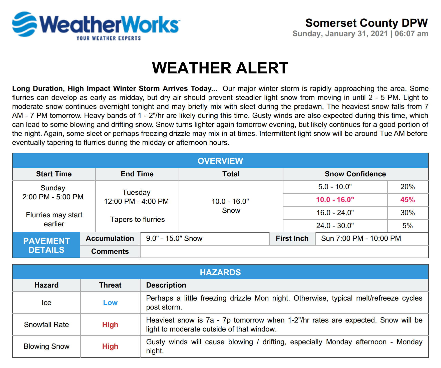
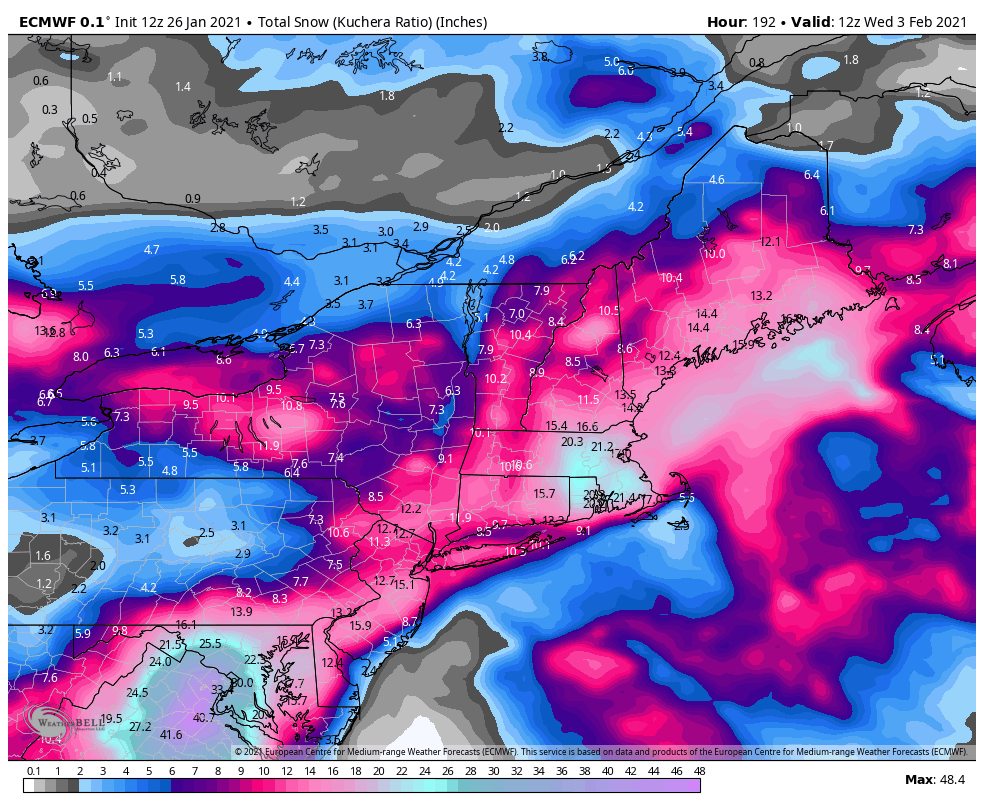
At this time it would be all day Sunday, but way too early to nail that or anything else down. Just sharing the potential. Also, the Euro and GFS both don't show it going above 32F from this Friday through the end of next week, with a couple of bitterly cold shots that could get the big cities into the single digits with highs in the teens. That could be overdone, but not by enough that it's going to be above normal any time soon.
One more thing: if you don't clear your snow by tonight, it's going to be frozen solid overnight with lows in the low to mid-20s. It could soften up a bit on Weds/Thurs, but then, based on the comments above, anything we have will be around through at least the end of next week.
#s, time to start a new thread for Feb 7-8? From the NWS disco, looks like it's gonna be a Miller A:
The next potential system looming in the longer term guidance
is a
low pressure system that looks to impact the region towards
the end of the weekend. Looking at trends in the
ensemble
guidance suggests that we`ll see a
closed low aloft with access
to quite a bit of cold air. There`s certainly some discrepancies
between the
ensembles in terms of both
trough strength and
location, however the variability in the
trough strength
explains roughly 45% of the model
variance. This is a pretty
good signal looking 7 days out that the area will
likely be
impacted by a
low pressure system. Its way too early to tell
much about precip type and timing, however the general trend in
guidance is suggestive that we`ll be looking at a Miller A storm
track. That is to say that the low will form over the Gulf of
Mexico and then ride up the Atlantic coastline instead of
needing to transfer energy from the midwest to the coast. If
this ends up as the storm mode, precip type becomes more simple
because we`re focusing on where the surface low tracks with
heaviest snow expected north and west of the center of the low.
There`s certainly plenty of time between now and any potential
impacts so we`ll be keeping an eye towards any significant
changes or trends in the guidance over the next couple of days.
Either way, guidance is also suggesting behind that system,
we`re heading towards a bitterly cold period with highs in the
teens to low 20s and lows potentially in the single digits early
next week.


